 水工建筑物 课设.docx
- 文档编号:28671487
- 上传时间:2023-07-19
- 格式:DOCX
- 页数:31
- 大小:205.03KB
水工建筑物 课设.docx
《水工建筑物 课设.docx》由会员分享,可在线阅读,更多相关《水工建筑物 课设.docx(31页珍藏版)》请在冰豆网上搜索。
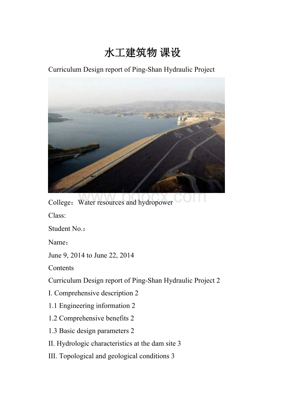
水工建筑物课设
CurriculumDesignreportofPing-ShanHydraulicProject
College:
Waterresourcesandhydropower
Class:
StudentNo.:
Name:
June9,2014toJune22,2014
Contents
CurriculumDesignreportofPing-ShanHydraulicProject2
I.Comprehensivedescription2
1.1Engineeringinformation2
1.2Comprehensivebenefits2
1.3Basicdesignparameters2
II.Hydrologiccharacteristicsatthedamsite3
III.Topologicalandgeologicalconditions3
3.1Topological,geologicalandhydrologicalconditions3
3.2Damcontracturematerials4
3.2Materialstrengths5
IV.Determinationofhydraulicprojectandprojectlayout5
4.1Componentsofhydraulicproject5
4.2Rankofhydraulicprojectandgradeofhydraulicstructure,criteriaofdesignedflood.6
4.3Selectionofhydraulicstructuretypes8
4.4Comparisonanddeterminationofhydraulicprojectassignment11
V.thedesignprocedureofembankmentdam11
5.1Selectionofdamtype11
5.2Primaryselectionofdamsectionsize14
5.3Assignmentofdamdrainagesystem19
5.4Seepageanalysisofearthdam21
5.5Stabilityanalysisofearthdam(onlychooseaslidingsurfaceinthedownstream)25
5.6foundationtreatmentofembankmentdams29
VI.Designofspillway30
6.1Selectionofspillwaylocation30
6.2Selectionofspillwayroute31
6.4Designofdischargechannel33
6.5Designofenergydissipationstructure39
VII.Designresults43
7.1Onecalculationmanualofdesign43
7.2Twodesigndrawings:
43
CurriculumDesignreportofPing-ShanHydraulicProject
I.Comprehensivedescription
1.1Engineeringinformation
ThePing-ShanprojectislocatedinthemiddlereachofPing-ShanRiverinHubeiProvince.ThePing-ShanRiverisamaintributaryofMushuiRiver,whichisatributaryofYangtzeRiver.ThePing-ShanRiverhas28kmlongwiththeriver-bedslopeof0.3%,andithasawatershedareaof556km2.Therearesmallriverplainsalongtheriver.Thelowestelevationoftheseplainsis62.5m.Thecontrolareaofthisprojectis491km2.
1.2Comprehensivebenefits
ThePing-Shanprojectgivesprioritytopowergenerationandirrigation.Furthermore,italsobenefitsfloodcontrol,navigation,aquaticproductbreeding,watersupply,etc.
1.3Basicdesignparameters
(1)Normalwaterlevel:
113.0m
(2)Designfloodlevel:
113.1m(100-yearflood)
(3)Checkfloodlevel:
113.5m(1000-yearflood)
(4)Deadwaterlevel:
105.0m(Thelimitworkingdepthforpowergenerationis8m)
(5)Thelowestwaterlevelforirrigation:
104.0m
(6)Totalcapacityofreservoir:
0.2billionm3
(7)Availablestorage:
0.115billionm3
(8)Dependabledischargeforpowerregulation:
Qp=7.35m3/sandtherelevantdownstreamwaterlevel:
63.20m
(9)Maximumdiversiondischargeforpowergeneration:
Q=28m3/sandtherelevantdownstreamwaterlevel:
68.65m
(10)Designdischargeofspillway:
Q1%=840m3/sandtherelevantdownstreamwaterlevel:
72.65m
(11)Checkdischargeofspillway:
Q0.1%=1340m3/sandtherelevantdownstreamwaterlevel:
74.30m
(12)Reservoirsedimentationelevation:
85.0m
II.Hydrologiccharacteristicsatthedamsite
Table2.1hydrologicalcharacteristicsatdamsite
PeakdischargeQ0.05%:
1860m3/s
PeakdischargeQ0.5%:
1550m3/s
PeakdischargeQ1%:
1380m3/s
Meanannualdischarge:
13.3m3/s
Meanannualrunoff:
4.22×10⁹m3
Meanannualmaximumwindspeed:
10m/s
Fetchinthereservoir:
8km
Meanannualrainfalldays:
48days/year
Thereservoirhasamoderateclimate.
III.Topologicalandgeologicalconditions
3.1Topological,geologicalandhydrologicalconditions
InthePing-Shanbasin,hillsandmountainsarepopular.Thebankslopesonbothsidesoftheriveraresteep(about60~70°)withthedifferenceofelevationupto80~120m(Theriverbedelevationisabout400m).Slopedepositlayersaredevelopedgreatlyintheriverbanksandshoals.Atthedamsite,therivervalleyissaddle-shaped,andthebendingriverlookslikeasigmoid.Thedamsiteiscoveredbyarelativelythickoverburdenlayer,underwhichtherockshavedisorderlyattitudes.
OntheupstreamsideofthedamsitehasDevoniansystemWuTonggroupsandstonedistributed,andonthedownstreamsideisPermianlimestone.Thedamaxisislocatedontheformerside.
Accordingtogeologicalinvestigation,thereisalargefaultofroughlyEWstrikeandNEdipatthejunctionofthesandstoneandthelimestonementionedabove.Thesandstoneattheleftbankoftheriveralongthedamaxisisratherbrokenandhasdisorderlyattitudes.Actually,thebrokenrocksdistributeonbothsidesoftheriver,andintherocksthefracturesaredevelopedgreatly.However,thepermeabilitycoefficientofthefracturedrocksisquitesmall,about0.001~0.010L/min.Theoverburdenlayeralongthedamaxisis1.5~5.0mdeep,withthematerialpropertiesofthepermeabilitycoefficientk=1×10-4m/s,thesubmergedunitweight
=10.0kN/m3andtheinternalcoefficientangleφ=35o.
ThetrafficconditionofthePing-Shanprojectisconvenient,includingship,roadandrailway.ThedamsitehasthebasicseismicintensityofⅤorⅥ,buttheseismicactioncanbeignoredhere.
3.2Damcontracturematerials
Earthmaterialsareabundantat1.5~3.5kmdownstreamofthedamaxis,andthequalitycanmeettherequirementsofconstruction.Sandscanbedruggedfromrivershoalsattheregionof1.0~3.0kmupstreamanddownstreamofthedamaxis.Rockmaterialscanbeexcavatedfromvalleysatleftbankdownstream.Thematerialpropertiesandparametersarelistedinthefollowingtable.
Table3.1damconcretematerials
Classifications
Dryunitweight
(kN/m3)
Optimumwatercontent(%)
Porosity
(%)
Internalfrictionangleφ
Cohesion(kN/m2)
Permeabilitycoefficient
(cm/s)
Loam
15.8
15
42
24°(dry)
12
110-5
20°(wet)
Clay
15.4
25
40
20°(dry)
37
110-6
18°(wet)
Hill-skillsoil
16.0
23
39
33°(dry)
10(dry)
110-3
22°(wet)
7.5(wet)
Overburdenlayer
16.0
35°
0
110-4
Sand
16.0
40
30°
0
110-3
Filledrock
18.0
33
38°
0
3.2Materialstrengths
Table3.2dammaterialstrengths
Compressivestrengthofbedrock:
s
2MPa
Frictioncoefficientbetweenconcreteandbedrock:
f=0.58
Internalfrictioncoefficientofbedrock:
f=0.7
Cohesionofbedrock:
c=0.5MPa
Unitweightofbedrock:
γ=26kN/m3
IV.Determinationofhydraulicprojectandprojectlayout
4.1Componentsofhydraulicproject
Accordingtotherequirementofhydraulicproject,thecomponentsofhydraulicprojectareconsistofretainingdams,hydropowerstationstructures,releasingstructures,diversionstructures,emptyingtunnels(thediversiontunnelcouldbeusedasanemptyingtunnelafterconstruction),etc.
4.2Rankofhydraulicprojectandgradeofhydraulicstructure,criteriaofdesignedflood.
Byreferringthematerialsgivenandlookinguptothe《StandardofRankofHydraulicStructureandDesignonHydroengineering》(SL252-2000),andthendeterminetherankofhydraulicprojectandgradeofhydraulicstructure.
Table4.1therankcriteriaofhydraulicproject
Projectrank
Projectscale
Reservoirstoragecapacity
(
Floodcontrol,protectfield(
Generateelectricitycapacity(
kW)
Large
(1)
Large
(2)
10~1.0
500~100
120~30
medium
1.0~0.10
100~300
30~5
Small
(1)
0.10~0.01
30~5
5~1
Small
(2)
0.01~0.001
1)Eachbenefitindex
Thetotalinstalledcapacityis9MWwiththreegeneratingunits,whichislessthan10MW,soitbelongstorankVproject.Besides,thetotalcapacityofreservoir:
0.2billion
whichisbetween0.1~10billion,henceitbelongstorank
project.
2)Rankofhydraulicproject
Accordingtothecode,forthehydraulicprojectowningthecomprehensiveutilizationbenefits,whenitcomestothedifferentranksofvariousbenefitindexes,thefinalrankshouldbedeterminedbythehighestone.Asaconsequence,therankofthehydraulicprojectis
project.
3)Gradeofhydraulicstructure
Table4.2gradeofpermanentstructuredivision
Rankofproject
Vitalstructure
Secondarystructure
1
3
2
3
3
4
4
5
5
5
Accordingtothegradedivisioncodeofhydraulicstructure,themainstructureofthe
projectisgrade2hydraulicstructure,whichissatisfiedinretainingdams,hydropowerstationstructures,releasingstructures,diversionstructures,irrigationpipes,emptyingtunnels.Thesecondarystructureraftisgrade3hydraulicstructure.
4)Designedflood
Themainpurposeofthedeterminationofhydraulicprojectstructureistogetthedesignandcheckfloodcriteria,andthenobtainthedesignandcheckfloodlevel.
Table4.3floodcriteriaofpermanenthydraulicstructureatmountainoushillyregion
project
Thegradeofhydraulicstructure
1
2
3
4
5
Design(m³/s)
1000~500
500~100
100~50
50~30
30~20
Embankmentdam(m³/s)
PMFor
10000~5000
5000~2000
2000~1000
1000~300
300~200
Others(m³/s)
5000~2000
2000~1000
1000~500
500~200
200~100
Designfloodwaterlevel113.1m(recurrencetimeis100years),
=840m³/s,andtherelevantdownstreamwaterlevelis72.65m.
Checkfloodwaterlevel113.5m(recurrencetimeis1000years),
=1340m³/s,andtherelevantdownstreamwaterlevelis74.30m.
4.3Selectionofhydraulicstructuretypes
1)selectionofthedamaxis
Thechoiceofthedamaxisshouldcomprehensivelyconsiderthetopographyandgeologicalconditions.Fortheearthdam,itwouldbebettertolocatedatthedownstreamofthemeanderingriverchannel,wherethereisnicegeologicalcondition,andithasasuitabledistancefromthematerialfield.
Theglancingplanlayoutofthedamaxisisasfollows:
Figure4.1glancingplanofdamaxis
2)selectionofhydraulicstructuretypes
retainingstructure
Therearethreetypesofdamconstructedonthedambase:
gravitydam,


- 配套讲稿:
如PPT文件的首页显示word图标,表示该PPT已包含配套word讲稿。双击word图标可打开word文档。
- 特殊限制:
部分文档作品中含有的国旗、国徽等图片,仅作为作品整体效果示例展示,禁止商用。设计者仅对作品中独创性部分享有著作权。
- 关 键 词:
- 水工建筑物 课设 水工 建筑物
 冰豆网所有资源均是用户自行上传分享,仅供网友学习交流,未经上传用户书面授权,请勿作他用。
 #2机组现场施工用电布置措施.docx
-
《个人贵金属质押借款合同》兴业银行.docx
-
《科学发展观和小康社会的经济建设》复习导学案.docx
-
《我和祖父的园子》第一课时教案两篇word.docx
-
《质量》教学案例与设计.docx
-
2惠农小册子.docx
-
7A版个人与团队模拟考试题及答案.docx
-
10篇新部编四年级下册语文课内外阅读理解专项练习题及答案.docx
-
16初四物理热和能知识点总结精讲.docx
-
20XX社会语言经典语录流行风暴.docx
-
48篇教学案例分析报告题.docx
-
《电子工厂安全管理制度汇总》.docx
-
《机械制造课程设计》指导.docx
-
《钱学森》教案第二课时.docx
-
《边城》读后感5篇.docx
-
《固定式压力容器安全技术监察规程》.docx
-
《论雷峰塔的倒掉》.docx
-
《手术台就是阵地》教学设计三年级语文下册.docx
-
《夏洛的网》课外阅读教学设计.docx
-
《自己的花是让别人看的》教案.docx
-
3C检查表090429.docx
-
7客运专线CRTSⅡ型板式无砟轨道施工工法.docx
-
《笔算除法》课时教案设计.docx
-
11#楼高大模板支撑体系专项方案.docx
-
17科学分析经济形势.docx
-
《电流和电路》易错题精讲综合检测题与答案.docx
-
《会计信息系统》习题含答案.docx
-
《汽车电器设备与维修》发电机分教考分离试题及标准答案.docx
-
《四川省排污许可证管理暂行办法》.docx
-
《新编实用英语》教案第一册Unit.docx
-
0母版锅炉值班员计算题WORD版.docx
-
3年级下册英语单词记忆人教版.docx
-
初中物理复习教学案全部.docx
-
工程经济学案例分析教学内容.docx
-
翻译综合.docx
-
在全省就业工作座谈会上的发言.docx
-
运动与行为教案.docx
-
建筑学建筑设计基础1课教案.docx
-
中国跨境电商行业产业研究报告.docx
-
国有企业采购管理制度样本.docx
-
距离高考30天教师的发言稿.docx
-
进出口贸易标准化办法.docx
-
教育均衡发展汇报材料规范办学行为.docx
-
化学反应原理复习题.docx
-
智慧树知道网课《牙解与颌生理学山东联盟》课后章节测试满分答案.docx
-
湖南省衡阳市中考数学试题及答案.docx
-
最新20xx精选圣诞节贺词精品资料.docx
-
人民警察初任培训内容.docx
-
在快乐中成长作文800字.docx
-
江苏省苏州市高三化学上学期期中试题.docx
-
桥梁桩基础设计计算部分.docx
